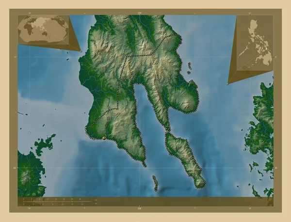
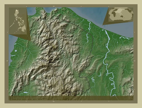
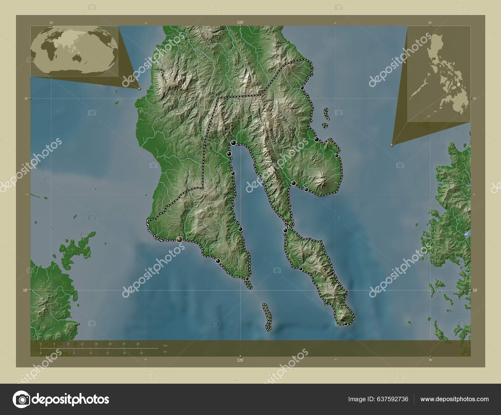
Southern Leyte Province Philippines Elevation Map Colored Wiki Style Lakes — Stockfoto

Southern Leyte, province of Philippines. Elevation map colored in wiki style with lakes and rivers. Locations of major cities of the region. Corner auxiliary location maps - illustratie

Southern Leyte, province of Philippines. Elevation map colored in wiki style with lakes and rivers. Locations of major cities of the region. Corner auxiliary location maps

 — Illustratie gemaakt door Yarr65

Dezelfde serie:

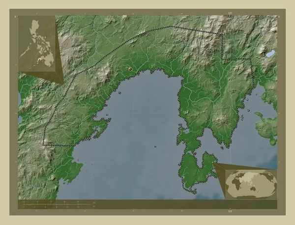
Zamboanga Sibugay, province of Philippines. Elevation map colored in wiki style with lakes and rivers. Corner auxiliary location maps
Zamboanga Sibugay Province Philippines Elevation Map Colored Wiki Style Lakes — Stockfoto
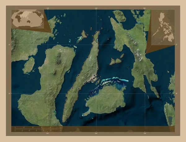
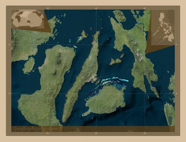
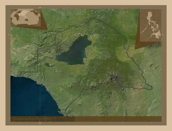
Cebu, province of Philippines. Low resolution satellite map. Locations of major cities of the region. Corner auxiliary location maps
Cebu Province Philippines Low Resolution Satellite Map Locations Major Cities — Stockfoto
Southern Leyte, province of Philippines. Colored elevation map with lakes and rivers. Corner auxiliary location maps
Southern Leyte Province Philippines Colored Elevation Map Lakes Rivers Corner — Stockfoto
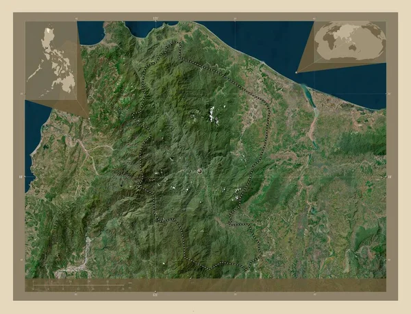
Apayao, province of Philippines. High resolution satellite map. Corner auxiliary location maps
Apayao Province Philippines High Resolution Satellite Map Corner Auxiliary Location — Stockfoto
Cebu, province of Philippines. Low resolution satellite map. Corner auxiliary location maps
Cebu Province Philippines Low Resolution Satellite Map Corner Auxiliary Location — Stockfoto
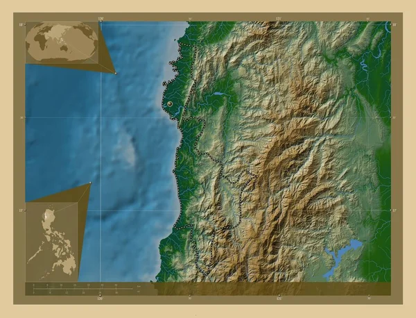
Ilocos Sur, province of Philippines. Colored elevation map with lakes and rivers. Corner auxiliary location maps
Ilocos Sur Province Philippines Colored Elevation Map Lakes Rivers Corner — Stockfoto
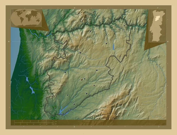
Viseu, district of Portugal. Colored elevation map with lakes and rivers. Locations of major cities of the region. Corner auxiliary location maps
Viseu District Portugal Colored Elevation Map Lakes Rivers Locations Major — Stockfoto
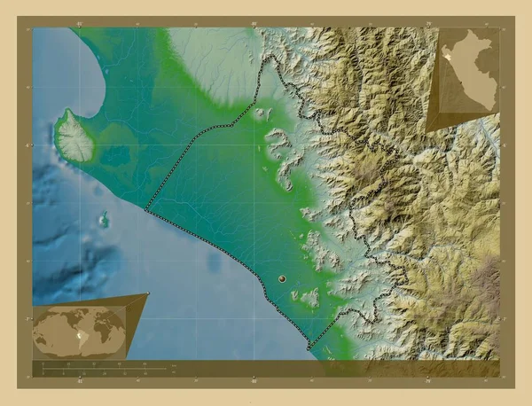
Lambayeque, region of Peru. Colored elevation map with lakes and rivers. Corner auxiliary location maps
Lambayeque Region Peru Colored Elevation Map Lakes Rivers Corner Auxiliary — Stockfoto
Apayao, province of Philippines. Elevation map colored in wiki style with lakes and rivers. Corner auxiliary location maps
Apayao Province Philippines Elevation Map Colored Wiki Style Lakes Rivers — Stockfoto
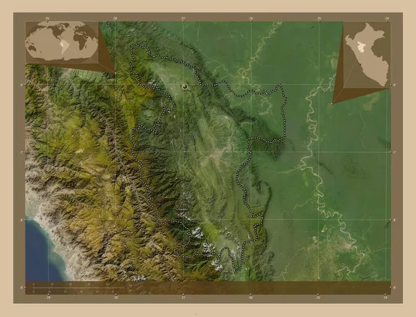
San Martin, region of Peru. Low resolution satellite map. Corner auxiliary location maps
San Martin Region Peru Low Resolution Satellite Map Corner Auxiliary — Stockfoto
Lanao del Sur, province of Philippines. Low resolution satellite map. Locations of major cities of the region. Corner auxiliary location maps
Lanao Del Sur Province Philippines Low Resolution Satellite Map Locations — Stockfoto
Apayao, province of Philippines. Colored elevation map with lakes and rivers. Locations of major cities of the region. Corner auxiliary location maps
Apayao Province Philippines Colored Elevation Map Lakes Rivers Locations Major — Stockfoto
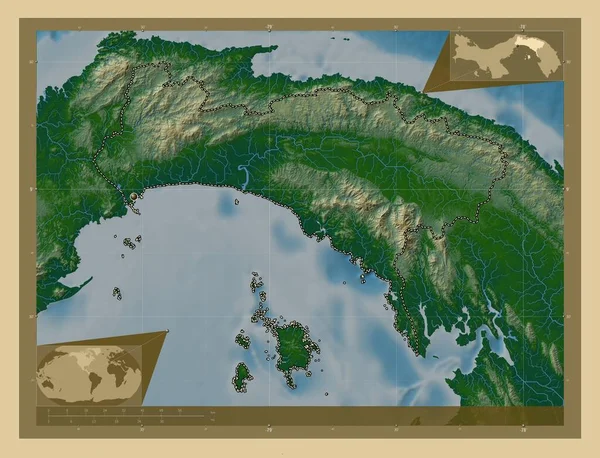
Panama, province of Panama. Colored elevation map with lakes and rivers. Corner auxiliary location maps
Panama Province Panama Colored Elevation Map Lakes Rivers Corner Auxiliary — Stockfoto
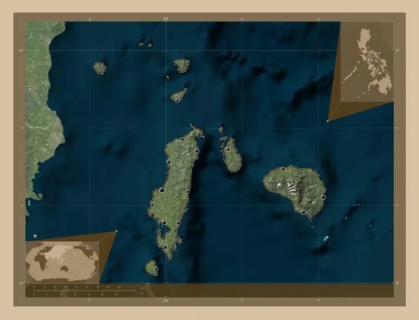
Romblon, province of Philippines. Low resolution satellite map. Locations of major cities of the region. Corner auxiliary location maps
Romblon Province Philippines Low Resolution Satellite Map Locations Major Cities — Stockfoto
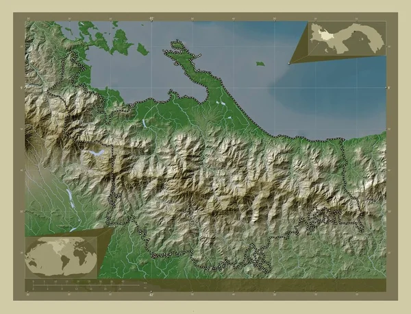
Ngobe Bugle, indigenous territory of Panama. Elevation map colored in wiki style with lakes and rivers. Corner auxiliary location maps
Ngobe Bugle Indigenous Territory Panama Elevation Map Colored Wiki Style — Stockfoto
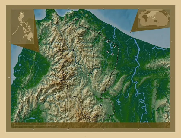
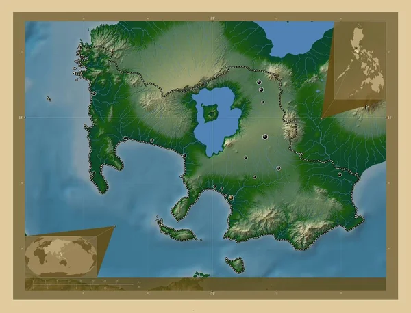
Batangas, province of Philippines. Colored elevation map with lakes and rivers. Locations of major cities of the region. Corner auxiliary location maps
Batangas Province Philippines Colored Elevation Map Lakes Rivers Locations Major — Stockfoto

Informatie over gebruik

U kunt deze rechtenvrije illustratie "Southern Leyte, province of Philippines. Elevation map colored in wiki style with lakes and rivers. Locations of major cities of the region. Corner auxiliary location maps" gebruiken voor persoonlijke en commerciële doeleinden volgens de Standaard of Uitgebreide licentie. De Standaard licentie staat de meeste soorten gebruik toe, waaronder advertenties, gebruikersinterface-ontwerpen en productverpakkingen, en een maximum van 500.000 gedrukte exemplaren. De Uitgebreide licentie staat alle soorten gebruik onder de Standaard licentie toe en het recht op een onbeperkt aantal gedrukte exemplaren, en staat tevens gebruik van de gedownloade stockillustratie toe voor merchandising en de verkoop of gratis verspreiding van producten.

U kunt deze illustratie kopen en downloaden in hoge resolutie tot 4930x3770. Uploaddatum: 28 jan 2023