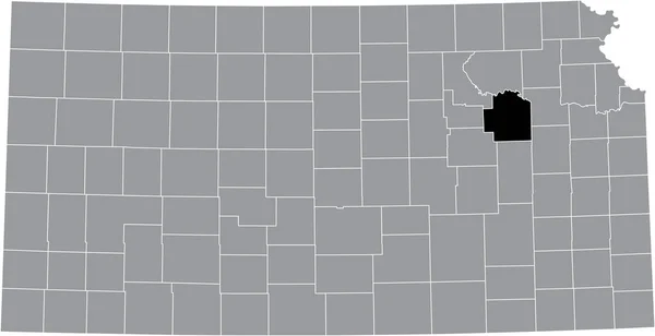
Black Highlighted Location Map Atchison County Gray Map Federal State — Stockvector

Black highlighted location map of the Atchison County inside gray map of the Federal State of Kansas, USA — Vector

Black highlighted location map of the Atchison County inside gray map of the Federal State of Kansas, USA

 — Vector van momcilo.jovanov

Dezelfde serie:

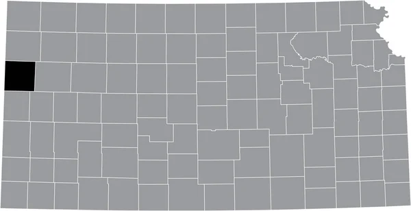
Black highlighted location map of the Wallace County inside gray map of the Federal State of Kansas, USA
Black Highlighted Location Map Wallace County Gray Map Federal State — Stockvector
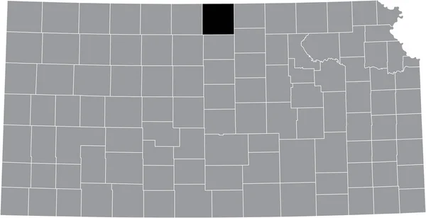
Black highlighted location map of the Jewell County inside gray map of the Federal State of Kansas, USA
Black Highlighted Location Map Jewell County Gray Map Federal State — Stockvector
Black highlighted location map of the Miami County inside gray map of the Federal State of Kansas, USA
Black Highlighted Location Map Miami County Gray Map Federal State — Stockvector
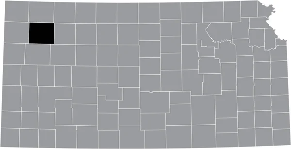
Black highlighted location map of the Sheridan County inside gray map of the Federal State of Kansas, USA
Black Highlighted Location Map Sheridan County Gray Map Federal State — Stockvector
Gray vector map of the Federal State of Kansas, USA with white borders of its counties
Gray Vector Map Federal State Kansas Usa White Borders Its — Stockvector
Black highlighted location map of the Harper County inside gray map of the Federal State of Kansas, USA
Black Highlighted Location Map Harper County Gray Map Federal State — Stockvector
Black highlighted location map of the Washington County inside gray map of the Federal State of Kansas, USA
Black Highlighted Location Map Washington County Gray Map Federal State — Stockvector
Black highlighted location map of the Decatur County inside gray map of the Federal State of Kansas, USA
Black Highlighted Location Map Decatur County Gray Map Federal State — Stockvector
Black highlighted location map of the Thomas County inside gray map of the Federal State of Kansas, USA
Black Highlighted Location Map Thomas County Gray Map Federal State — Stockvector
Black highlighted location map of the Wyandotte County inside gray map of the Federal State of Kansas, USA
Black Highlighted Location Map Wyandotte County Gray Map Federal State — Stockvector
Black highlighted location map of the Douglas County inside gray map of the Federal State of Kansas, USA
Black Highlighted Location Map Douglas County Gray Map Federal State — Stockvector
Black highlighted location map of the Wilson County inside gray map of the Federal State of Kansas, USA
Black Highlighted Location Map Wilson County Gray Map Federal State — Stockvector
Black highlighted location map of the Meade County inside gray map of the Federal State of Kansas, USA
Black Highlighted Location Map Meade County Gray Map Federal State — Stockvector
Black highlighted location map of the Wabaunsee County inside gray map of the Federal State of Kansas, USA
Black Highlighted Location Map Wabaunsee County Gray Map Federal State — Stockvector
Black highlighted location map of the Jefferson County inside gray map of the Federal State of Kansas, USA
Black Highlighted Location Map Jefferson County Gray Map Federal State — Stockvector
Black highlighted location map of the Riley County inside gray map of the Federal State of Kansas, USA
Black Highlighted Location Map Riley County Gray Map Federal State — Stockvector

Soortgelijke stockvideo's:

Lijn geanimeerde kaart van de staat North Dacota uit de Verenigde Staten van Amerika. 2de kaart van Noord Dacota. 4k
Lijn geanimeerde kaart van de staat North Dacota uit de Verenigde Staten van Amerika. 2d kaart van Noord-Dacota. — Stockvideo
Nebraska USA federale staat kaart schema animatie. Bewegingsgrafiek
Nebraska USA federale staat kaart schema animatie. Bewegingsgrafiek. — Stockvideo
Abstract lijn animatie Montana State of USA op zeshoek stijl. Montana staat. Verenigde Staten van Amerika. Plattegrond van de federale staat Montana gemarkeerd op kaart van de VS.
Abstract lijn animatie Montana State of USA op zeshoek stijl. Montana staat. Verenigde Staten van Amerika. Plattegrond van de federale staat Montana gemarkeerd op kaart van de VS — Stockvideo
Utah County kaart schets animatie. Bewegingsgrafiek
Utah County kaart schets animatie. Bewegingsgrafiek. — Stockvideo
Nebraska USA federale staat kaart schema animatie. Bewegingsgrafiek
Nebraska USA federale staat kaart schema animatie. Bewegingsgrafiek. — Stockvideo
Kaart van de Verenigde Staten van Amerika met verschillende staten. Kaart van de VS 4k
Kaart van de Verenigde Staten van Amerika met verschillende staten. Kaart Verenigde Staten — Stockvideo
Lijn geanimeerde kaart van de staat Missouri uit de Verenigde Staten van Amerika. Bewegingsgrafiek
Lijn geanimeerde kaart van de staat Missouri uit de Verenigde Staten van Amerika. Bewegingsgrafiek. — Stockvideo
Zuid-Korea geanimeerde kaart in blauw op een witte achtergrond. Bewegingsontwerp 4K
Zuid-Korea geanimeerde kaart in blauw op een witte achtergrond. Bewegingsontwerp — Stockvideo
Iowa State of the United States of America. Geanimeerde lijn locatiemarkering op de kaart. Gemakkelijk te gebruiken met schermtransparantiemodus op uw video. 4k
Iowa State of the United States of America. Geanimeerde lijn locatiemarkering op de kaart. Gemakkelijk te gebruiken met schermtransparantie modus op uw video. — Stockvideo
Tekening omtrek grenzen Peoples Republic China silhouet, grenzen omtrek kaarten China. Hoge kwaliteit 4k beeldmateriaal
Tekening omtrek grenzen Volksrepubliek China silhouet, grenzen omtrek kaarten China — Stockvideo
Abstract lijn animatie North Carolina State of USA op zeshoek stijl. De staat North Carolina. Verenigde Staten van Amerika. Overzicht kaart van North Carolina federale staat gemarkeerd van kaart van de VS.
Abstract lijn animatie North Carolina State of USA op zeshoek stijl. De staat North Carolina. Verenigde Staten van Amerika. Overzicht kaart van North Carolina federale staat gemarkeerd van kaart van de VS — Stockvideo
Abstract lijn animatie Louisiana State of USA op zeshoek stijl. De staat Louisiana. Verenigde Staten van Amerika. Plattegrond van Louisiana federale staat gemarkeerd op kaart van de VS.
Abstract lijn animatie Louisiana State of USA op zeshoek stijl. De staat Louisiana. Verenigde Staten van Amerika. Plattegrond van Louisiana federale staat gemarkeerd op kaart van de VS — Stockvideo
Missouri County kaart schets animatie. Bewegingsgrafiek
Missouri County kaart schets animatie. Bewegingsgrafiek. — Stockvideo
Georgië staat van de Verenigde Staten van Amerika. Geanimeerde lijn locatiemarkering op de kaart. Gemakkelijk te gebruiken met schermtransparantiemodus op uw video. 4k
Georgië staat van de Verenigde Staten van Amerika. Geanimeerde lijn locatiemarkering op de kaart. Gemakkelijk te gebruiken met schermtransparantie modus op uw video. — Stockvideo
Missouri staat van de Verenigde Staten van Amerika. Geanimeerde 3D goud locatiemarkering op de kaart. Gemakkelijk te gebruiken met schermtransparantiemodus op uw video. 4k
Missouri staat van de Verenigde Staten van Amerika. Geanimeerde 3D goud locatiemarkering op de kaart. Gemakkelijk te gebruiken met schermtransparantie modus op uw video. — Stockvideo
Tekening contourkaart Zuid-Afrika, afbakening grenslanden Zuid-Afrika. Hoge kwaliteit 4k beeldmateriaal
Tekening contourkaart Zuid-Afrika, begrenzingslanden Zuid-Afrika — Stockvideo
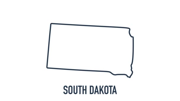
Brush animated map showing the state of South dakota from the united state of america. 2d map of South dakota. 4k
Brush animated map showing the state of South dakota from the united state of america. 2d map of South dakota. — Stockvideo
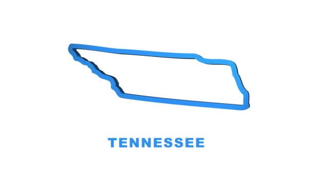
Lijn geanimeerde kaart van de staat Tennessee uit de verenigde staat van Amerika. Bewegingsgrafiek
Lijn geanimeerde kaart van de staat Tennessee uit de verenigde staat van Amerika. Bewegingsgrafiek. — Stockvideo

Informatie over gebruik

U kunt deze rechtenvrije vectorafbeelding "Black highlighted location map of the Atchison County inside gray map of the Federal State of Kansas, USA" gebruiken voor persoonlijke en commerciële doeleinden volgens de Standaard of Uitgebreide licentie. De Standaard licentie staat de meeste soorten gebruik toe, waaronder advertenties, gebruikersinterface-ontwerpen en productverpakkingen, en een maximum van 500.000 gedrukte exemplaren. De Uitgebreide licentie staat alle soorten gebruik onder de Standaard licentie toe en het recht op een onbeperkt aantal gedrukte exemplaren, en staat tevens gebruik van de gedownloade vectorbestanden toe voor merchandising en de verkoop of gratis verspreiding van producten.

Deze stockvectorafbeelding is schaalbaar naar elk formaat. U kunt deze kopen en downloaden in hoge resolutie tot 6907x3545. Uploaddatum: 10 aug 2021